US and China intensify competitive orbital espionage games
- In Reports
- 07:05 PM, Sep 17, 2025
- Myind Staff
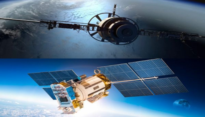
Satellites from the United States and China are involved in a high-stakes game of orbital espionage, capturing clear images of each other's valuable space assets. Analysts are referring to this as a strategic "tit-for-tat" in an increasingly competitive outer space environment.
In early June 2025, the US commercial satellite company Maxar Intelligence published images of China's Shijian-26 satellite, which were taken by its World View Legion satellites. These extremely high-resolution photos, captured from as close as 29 kilometres away, showed remarkable details of China's newest optical reconnaissance satellites orbiting Earth.
Maxar praised this as the beginning of a new period for space situational awareness and intelligence gathering. The US company had also previously shared images of China's Tiangong space station and the International Space Station.
Not to be outdone, China's Jilin-1 satellite constellation, which is managed by Chang Guang Satellite Technology, used a perfect orbital opportunity on September 8 to take detailed images of Maxar's World View Legion satellite from distances between 40 and 50 kilometres. By making the images public for the first time on their official social media accounts, China demonstrated its own advanced capabilities. This signalled the country's growing skill and confidence in observing space.
Experts say that these reciprocal space-based spy activities show a quickly growing rivalry in space between the two technological giants. Each country is now monitoring the other's satellites and space stations not just to keep an eye on them, but to assert strategic dominance. Susanne Hake, the general manager of Maxar Intelligence's US government division, emphasised the importance of this development. She noted that the sharp images of China's Shijian-26 satellite show a significant advancement in optical reconnaissance technology.
Marco Langbroek, a lecturer at the Faculty of Aerospace Engineering at Delft University of Technology in the Netherlands, explained to Newsweek that tracking satellites at such high resolution helps to identify not only their physical structure but also their purpose and potential future movements. He said this is a crucial skill as the competition in orbit becomes more intense. Space is increasingly seen as a vital area for national security and economic power, with satellites performing roles from communication and navigation to military reconnaissance.
The US Space Force, which was established in 2019 as the nation's sixth independent military branch, is developing "situational awareness" payloads. These payloads are designed to gather intelligence on adversaries' satellites, especially those belonging to China, to provide warnings against tracking or targeting. This was stated by Kelly Hammett, director of the Space Rapid Capabilities Office, in March 2025, as reported by Breaking Defense.
Meanwhile, Beijing formed its own People's Liberation Army Aerospace Force in April 2024 and has responded by openly showing its ability to look into US orbital assets. A similar incident occurred in 2021 when SpaceX's Starlink satellites approached the Chinese space station twice. In response, China urged the US authorities to take immediate action to prevent similar events from happening again.
With tensions escalating, space experts warn that such surveillance could turn into active countermeasures, cyber operations, or even physical sabotage in orbit. These scenarios would greatly complicate an already difficult geopolitical situation.


Comments