Naneghat: A Slice of Indian History
- In Travel
- 01:10 PM, Oct 26, 2024
- Chandrahas Halai
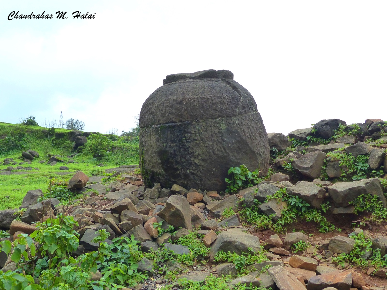
"Hey, Chandrahas! What is such a huge stone pot doing over here?"
My adventure trek-loving friend Ashok Bhanushali wondered.
-
"Ashok, this is a 2200-year-old trade route which connects the Deccan plateau's Junnar (District Pune) with the Kalyan city of the coastal plains of north Konkan. This mountain pass, Naneghat (नाणेघाट) (160 km east of Mumbai and 120 km north of Pune) was a toll booth on this trade route. Merchants passing this toll booth used to put silver coins into this pot carved out of a huge rock to pay their taxes. That is how this mountain pass got its name Naneghat (नाणे means coins in Marathi). In today’s times, the locals call it जकातीचा रांजण, meaning tax-collector’s pot.”
“There is an ancient port on the Ulhas River at Kalyan city through which it flows. The Ulhas River meets the Arabian Sea near Nala Sopara. Ancient name of Nala Sopara was Supara. Supara was an ancient seaport through which maritime trade was conducted with Western nations. It is also mentioned in the Old Testament. King Solomon’s fleet used to frequent Supara to purchase Indian goods."
Though Naneghat is a lesser-known place it is very important from a historical point of view. Hence, during one monsoon season when Ashok informed me that coming Sunday our trekking group would be going to Naneghat I became pretty excited.
As per our plans, early Sunday morning we left for Naneghat in Ashok's car. After reaching Kalyan we took the road to Ahilyanagar (formerly Ahmednagar). After a while, our car crossed the bridge on the river Ulhas and I noticed boats sailing in the river below. A thought crossed my mind that two millenniums ago merchants used to send their cargo on boats from here to faraway lands. It was as if I had done a journey of thousands of years in a moment.
Moving in the direction of Murbad we could see the green covering getting dense on both sides of the road. The weather was becoming pleasant. In between it drizzled. After crossing Murbad, the forest cover became even more dense. We could spot the beautiful mountains of Malshej ghat and Naneghat from afar. We could hear the music of the streams flowing by on both sides of the road. Enjoying the enchanting nature in a short while we reached Vaishakhare village. Malshej ghat starts from here. After covering a short distance, we reached the base of Naneghat. A huge board informing us that this is a 2200-year-old ancient trade route welcomed us.
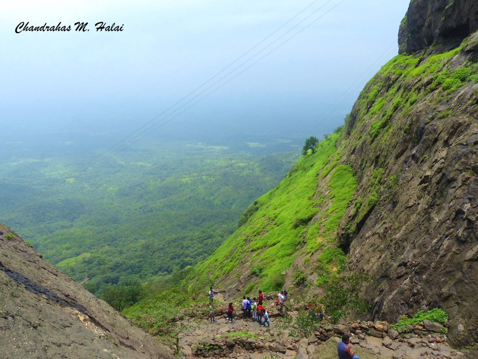
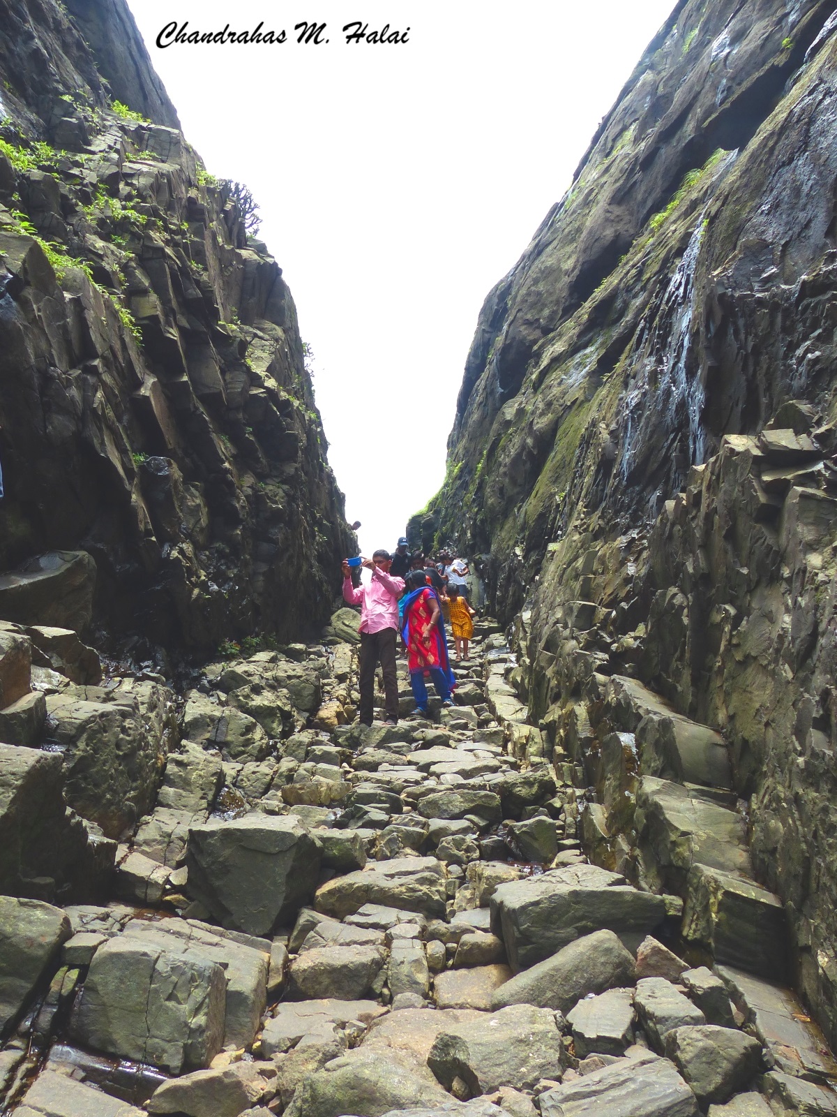
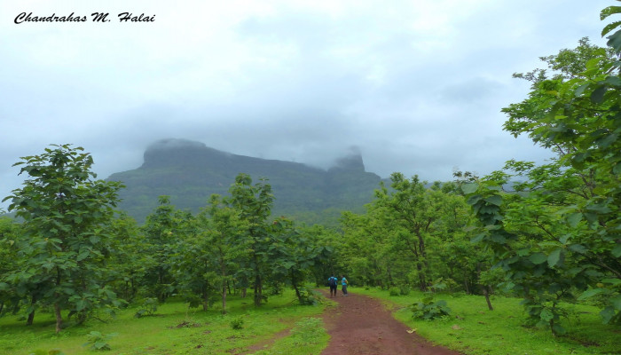
From here began our Naneghat trek. We walked on the trail covered with thick vegetation. Light showers were falling. We were breathing in refreshing pollution-free air. On the way, we encountered three guzzling streams. After a short distance, we had a slight climb. After the climb, we reached a plateau. From here we got a very beautiful view of the peak of Naneghat. To reach the top of the mountain, steps are hewn from the rocks. While climbing the steps we were enjoying the beautiful view of the green valley below.
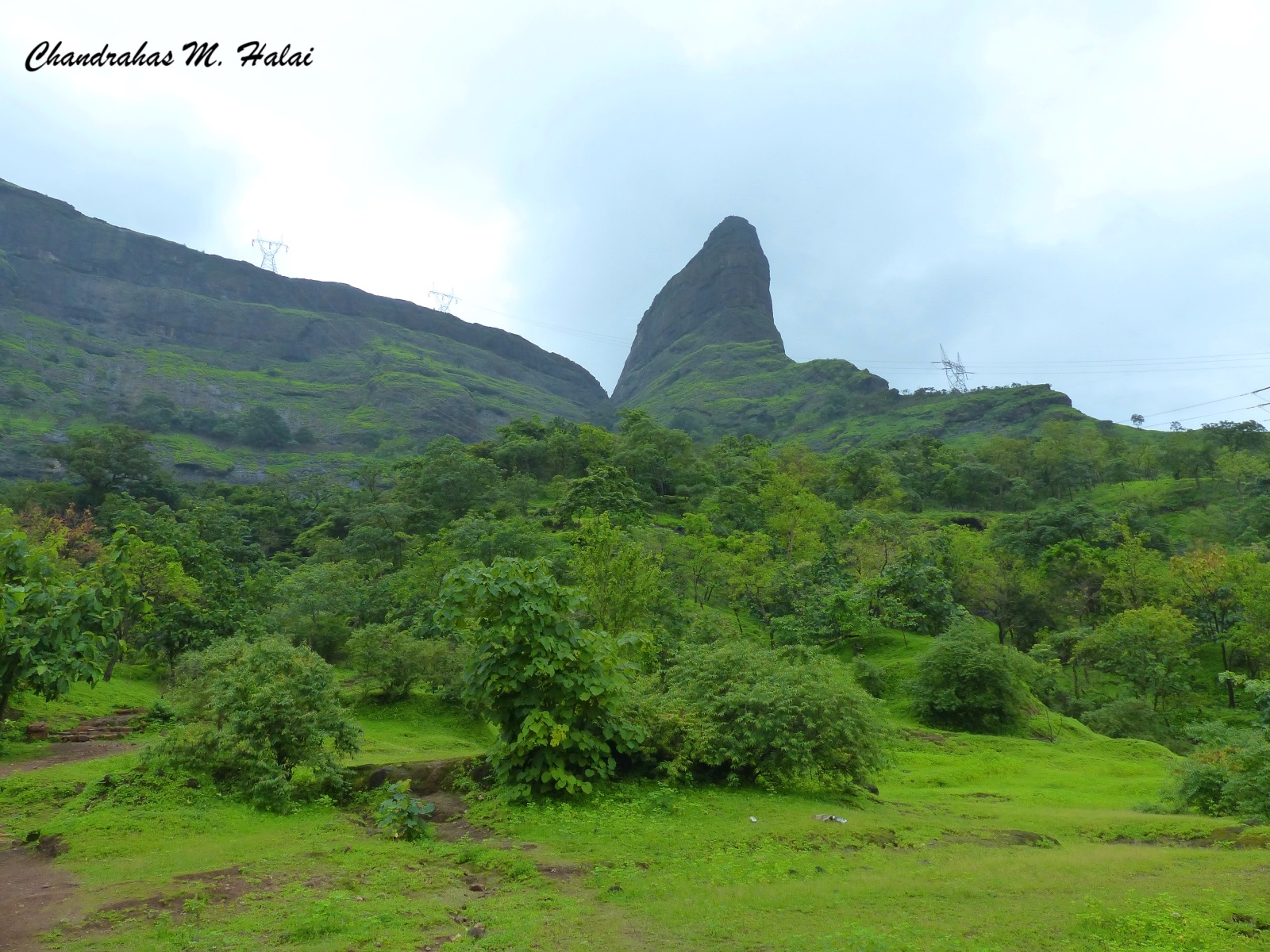
To quench the thirst of the travellers around 2000 years ago the members of the royal family of the Satavahanas had carved a water tank from the rocks at a height slightly below the peak. After resting for a while near the water tank we again started climbing the steps. After a while, we reached the peak. From here, we could see the amazing beauty of the valley below. Since Naneghat is at an altitude of 750m above the mean sea level you can see afar from here.
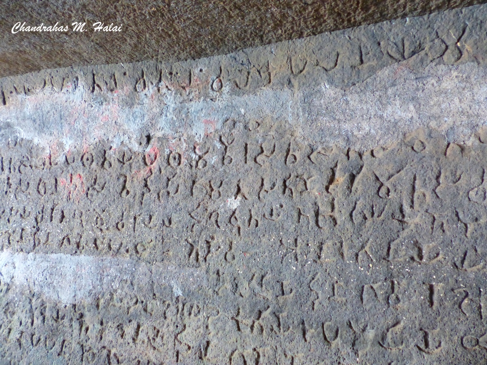
There are some rock-cut caves here. Water tanks have been carved out for rainwater harvesting so that water is available throughout the year for travellers. We entered the main cave. The sculptures of the Satavahana royals were carved out of the rocks, but the time of several centuries has taken its toll. There are inscriptions on the walls of the main cave.
“Chandrahas, these inscriptions are in which language?” asked my friend Mangal Bhanushali ji, who is a social worker and an ex-corporator from Ghatkopar, Mumbai.
“Mangal bhai, this is Sanskrit written in the Brahmi script.”
“Chandrahas, what does it say?” asked my mountaineering trainer friend, Pushpa Patel.
“Pushpa Ben, some of the most significant historical information regarding our country is inscribed here.”
My friends requested me to say more about this. “Let’s cross over to the other side of the pass. I will tell you everything I know about this while having tea and snacks.”
A path has been carved out near the peak of the hill.
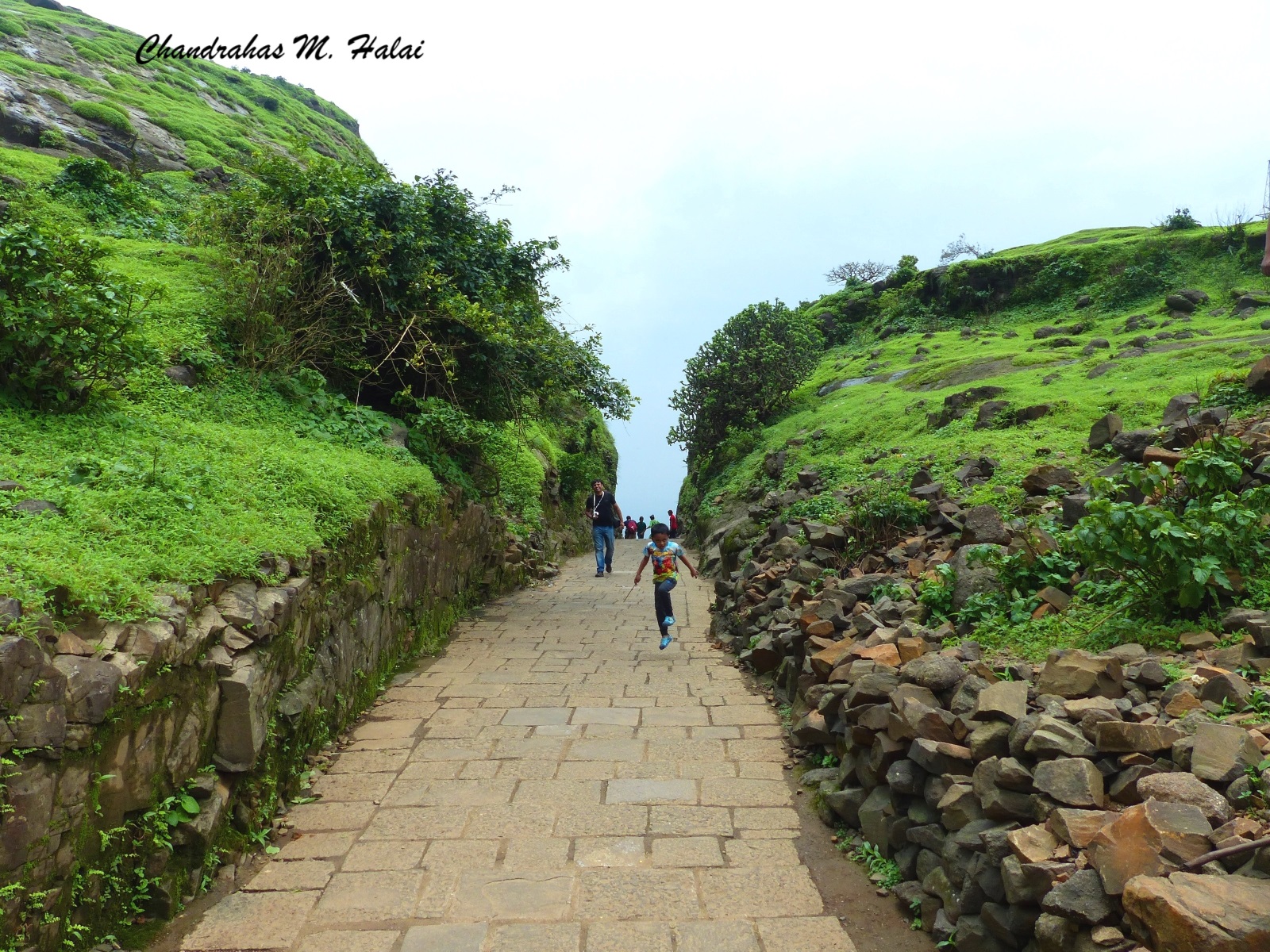
After crossing this path, we reached the Deccan plateau. Here, we saw the huge rock pot, that I had mentioned at the beginning of the article welcoming us to the Deccan plateau. This is a beautiful place with pleasant weather. We saw a beautiful hill some 2- 3 kilometres away from here. Jivdhan Fort is perched at the peak of the hill. We sat for tea and snacks at a small eatery.
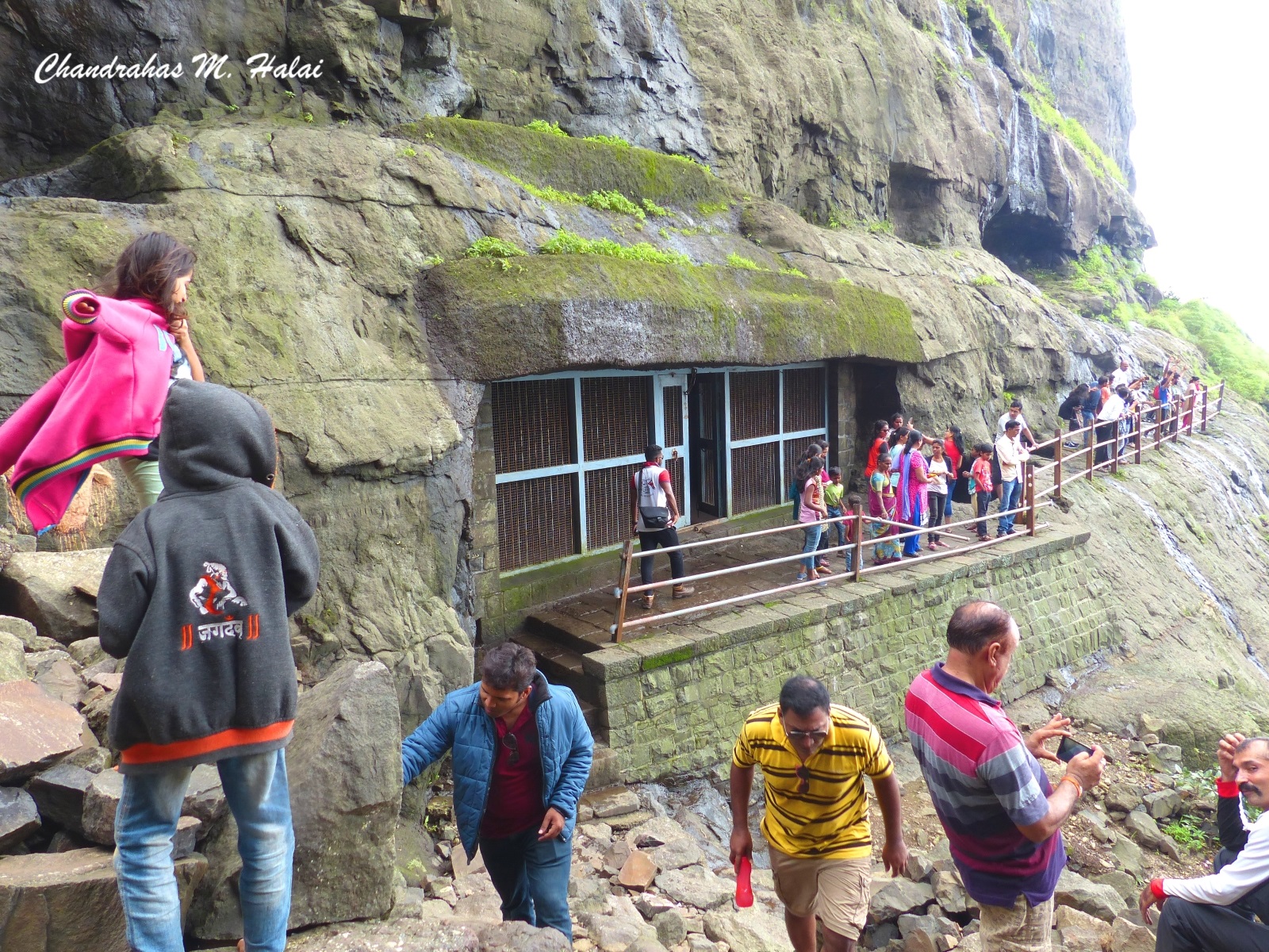
“Chandrahas, now tell us about the inscriptions at the cave,” said Pushpa Ben excitedly.
After the decline of the Mauryans, the Satavahanas (सातवाहन) rose in power in central Bharat. They ruled over most of the central Bharat (today’s Maharashtra, Telangana, Andhra Pradesh, north Karnataka, south Madhya Pradesh and south Gujarat) from 228 BCE to 224 CE. Puranas have called the Satavahana kings as the आंध्र भृत्य, means the ones who served the Andhra Desha. The Satavahana dynasty laid the foundation of today’s Andhra Pradesh and Telangana states.
Around 2100 years ago, the northern Maharashtra was ruled by the Maharathi (महारथी) dynasty. The word Marathi (मराठी) is the distorted from Maharathi. The citizens of the Maharathi kingdom spoke Prakrit. Old Marathi had evolved from Prakrit. The citizens of the Maharathi kingdom used to call themselves Maharashtri (महाराष्ट्री). It is from this that the name of the modern state of Maharashtra is derived.
In our country marriage is not just a union of two individuals but also of two families. In ancient times when two royal families were tied through marriage alliances, even their kingdoms would get interlinked. Such marriage alliances between two royal families not only benefitted the two kingdoms but also turned around the fortune of the entire nation.
Satavahana king Satakarni I (सातकर्णी १) (rule 70-60 BCE) had married princess Naganika Devi (नागनिका देवी), the daughter of Maharathi king Trankayira. Due to this marriage alliance, the Satavahanas grew in power and they spread their boundaries in all directions. The capital of the Satavahanas was initially Prastisthana (प्रतिष्ठान), today’s Paithan in Sambhaji Nagar district (formerly Aurangabad). Later they shifted it to Amravati in today’s Andhra Pradesh.
The Satavahanas had provided political stability in central Bharata for more than 300 years. This political stability and security boosted trade and commerce, which brought prosperity to the nation and its citizens. Due to this arts, literature, culture and sciences evolved.
Indian goods like spices, silk, cloth, artefacts, etc. had a great demand in foreign lands. Pliny, a Roman author, naturalist, philosopher, army and naval commander (CE 23/24 - 79) had written that there was such a huge demand for Indian goods in the Roman empire that the Romans were splurging all their gold and silver on them. So much so that there used to be shortages of gold and silver in Rome to mint the coins. This is the reason why Bharata was called the golden sparrow.
Ptolemy, a Greek geographer and citizen of the Roman Empire visited Bharata in the second century CE. He recorded a lot of information about the Satavahanas in his writings. He had also visited Naneghat. He says that so much of silver coins were put in the rock pot that they overflowed. It was as if a stream of silver was flowing.
It was Queen Naganika Devi who had given the funds to carve the caves and the water tanks at Naneghat for the comfort of travellers. From the inscriptions here we get significant information about the Satavahana dynasty. There is information about the yagnas (like Ashwamedh, Rajasuya, etc.) conducted by the royal couple – King Satakarni I and Queen Naganika Devi. There is also a listing of the donations and gifts given by the king and the queen during the various yagnas.
Around 150 years ago two ancient silver coins were found in these caves. These two coins bear the name of Queen Naganika Devi. This was the first instance in world history when coins were minted in the name of the queen.
There is one more significant aspect of the Naneghat inscriptions. It is one of the oldest archaeological pieces of evidence of one of the most significant inventions that revolutionised science, engineering, architecture, trade-commerce etc. This is one of the most precious gifts of Bharata to the world – a decimal place-value number system. The count of the things given in gifts and donations was inscribed here in Brahmi numerals.
Vehicles driving from Junnar can reach to almost the edge of the cliff of Naneghat.
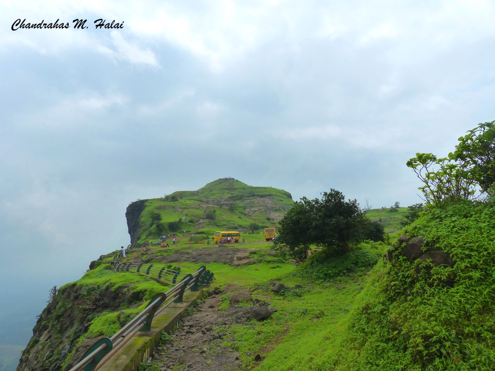
Though Naneghat is somewhat less known, it is one of the most significant places from a historical perspective.




Comments