




India’s standardisation of 27 Arunachal locations draws strong response from China
- In Reports
- 07:34 PM, Aug 11, 2026
- Myind Staff
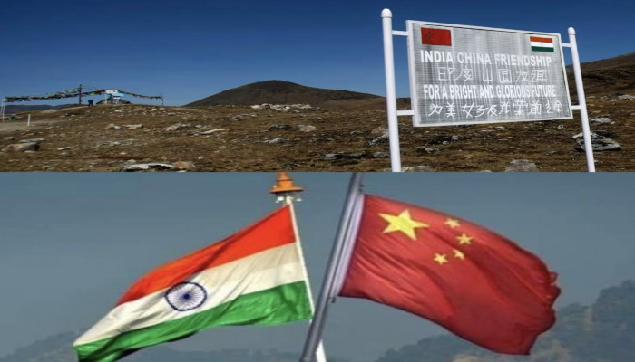
India has officially standardised the names of 27 important locations in Arunachal Pradesh, drawing a strong reaction from China. The move reinforces India’s position that Arunachal Pradesh is an integral part of the country. It also comes after several rounds of Chinese attempts to rename places in the state. The timing has added further significance to the decision as India and China continue diplomatic talks over their border issues.
The Survey of India has updated its official maps to include the 27 locations under their recognised Indian names. The Ministry of Home Affairs announced the exercise on August 7 in consultation with the Arunachal Pradesh government. The move does not change existing boundaries or make any new territorial claims. Instead, it formally records the names of locations that hold historical, cultural and strategic importance for India.
The updated list covers 21 settlements and land areas. These include Longju, Maja, Bisa, Jairampur, Ramnagar, Jaswant Garh, Baisakhi and Kamlang Nagar. It also includes four mountain passes, Dzo La, Riza La, Pukur La and Thag La. Sambho Sarovar, a high-altitude lake, has also been included. The list further contains the Sher-e-Thapa Memorial, which honours the contribution of an Indian soldier during the 1962 India-China war.
The Ministry of Home Affairs said the exercise will help improve geographical identification. It will also provide an authoritative reference for governance, planning and disaster management. Several of the locations, however, lie close to the Line of Actual Control or have links to important events in the India-China border dispute. This gives the mapping exercise wider strategic importance.
Longju is among the most significant locations on the updated list. It lies in the Tsari Chu valley and has remained under Chinese control since 1959. Chinese forces attacked an Assam Rifles post there that year. The incident became one of the earliest military confrontations between the two countries before the 1962 war.
By officially including Longju under its recognised Indian name, New Delhi has once again asserted its territorial claim over an area that has remained under Chinese control for decades. The decision highlights the continuing differences between India and China over their disputed border.
Thag La is another location with major historical importance. The ridge was one of the main flashpoints of the 1962 war. Heavy fighting took place there during the early stages of the conflict. Indian troops attempted to push back the advancing Chinese forces. The inclusion of Thag La in the updated maps reinforces India’s position on the McMahon Line, which China does not accept.
The revised maps also include Jaswant Garh and the Sher-e-Thapa Memorial. Jaswant Garh commemorates Rifleman Jaswant Singh Rawat, who received the Maha Vir Chakra for his role in the Battle of Nuranang in November 1962. The memorial has since become one of the best-known military landmarks in Arunachal Pradesh.
The Sher-e-Thapa Memorial honours Trilok Singh Thapa, another Indian soldier remembered for his role during the 1962 conflict. The inclusion of both memorials in the official cartographic records gives formal recognition to these important military landmarks.
China reacted sharply to India’s decision within days of the announcement. Chinese Foreign Ministry spokesperson Guo Jiakun rejected the updated Indian maps. He said Beijing "does not recognise the so-called 'Arunachal Pradesh' illegally set up by India WhatsApp". He further stated, "India's move of attempting to replace names long been used by China with its so-called 'standard names' is illegal, null and void. Zangnan region is China's territory."
China has carried out its own renaming exercises in Arunachal Pradesh over the past several years. Beijing released a list of six renamed locations in 2017. It announced 15 additional names in 2021 and another 11 names in 2023. In 2023, China also released a revised standard map that showed the whole of Arunachal Pradesh and Aksai Chin as part of Chinese territory.
India has consistently rejected these claims and renaming exercises. The Ministry of External Affairs has repeatedly said that assigning "invented names" does not change the fact that Arunachal Pradesh "was, is, and will always remain an integral and inalienable part of India."
The timing of India’s latest move is also important. The updated maps were released just one day after officials from India and China met in New Delhi for the 36th Working Mechanism for Consultation and Coordination on border affairs. The meeting was led by MEA Joint Secretary for East Asia Sujit Ghosh and Chinese Foreign Ministry Director General Hou Yanqi.
During the meeting, the two sides reviewed the border situation and discussed steps to maintain peace and stability along the LAC. India’s decision to release the updated maps soon after the talks underlines that discussions on border management do not affect its position on sovereignty over Arunachal Pradesh.
The move also came shortly after border trade resumed through Nathu La and Shipki La on August 1. The reopening followed several years of disruption. While India and China have taken steps to improve practical cooperation in some areas, the map update shows that New Delhi continues to treat its position on Arunachal Pradesh as non-negotiable.
The decision also comes ahead of the BRICS Summit. Prime Minister Narendra Modi and Chinese President Xi Jinping could meet on the sidelines of the summit. By updating the maps before any possible high-level engagement, India has reiterated its established position on Arunachal Pradesh.
The map revision also comes as India continues to strengthen infrastructure in the state. The government has accelerated road and connectivity projects in border areas. The Frontier Highway is being developed to improve access to remote regions along the frontier.
The Sela Tunnel has also strengthened all-weather connectivity to the Tawang sector. The area remains strategically important due to its location near the India-China border. Under the Vibrant Villages Programme, several border villages are receiving investments in connectivity, public services and local infrastructure.
Locations such as Jairampur, Maja and Bisa are connected with these wider development efforts. The inclusion of such places in India’s updated maps therefore comes alongside a broader push to strengthen administration, infrastructure and connectivity in border regions.
India’s latest decision is not a redrawing of the border. It does not introduce any new territorial claim. Instead, it officially records 27 locations using their recognised Indian names. The move comes after years of Chinese renaming exercises and at a time when both countries are engaged in diplomatic efforts to manage tensions along the LAC.
The updated maps therefore carry significance beyond cartography. They reaffirm India’s administrative and historical position on Arunachal Pradesh. At the same time, New Delhi continues to engage with Beijing on wider border issues. The decision shows that India intends to maintain dialogue while firmly protecting its established position on the state.



 Loading...please wait
Comments