Indian firm secures access to high-resolution satellite imagery from US
- In Reports
- 06:14 PM, Jun 24, 2024
- Myind Staff
A Gurugram-based company is among the initial seven clients that have purchased access to satellite imagery from a first-of-its-kind satellite capable of capturing extremely high-resolution images. These satellites operate in a very low earth orbit (VLEO), providing images so sharp that historically, such capabilities have been exclusive to American defence and intelligence organisations, according to insiders.
During the Galwan standoff with China, Indian strategists were provided access to satellite images by the US, highlighting the strategic importance of such imagery. Conversely, during the Kargil war, Washington had declined to share satellite images requested by Delhi to pinpoint Pakistani intruder locations, which resulted in additional casualties on the Indian side that could potentially have been avoided.
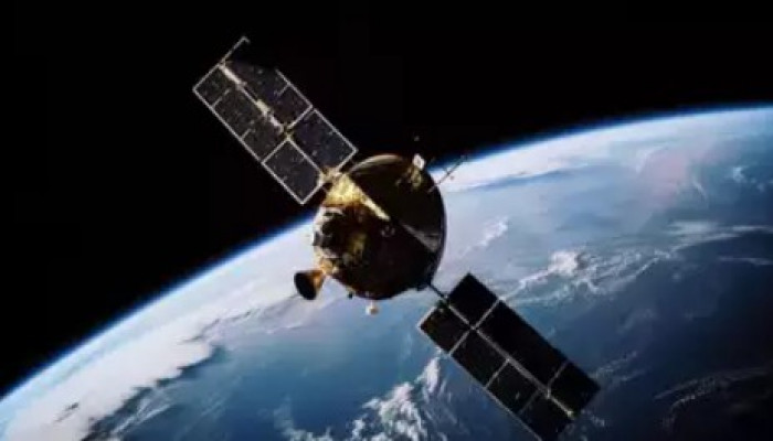
The commercial satellite, named Clarity, is slated to be deployed in VLEO as part of SpaceX’s Transporter-13 ride-share mission scheduled for launch in February 2025. It is being launched by Albedo, a Denver-based satellite imagery startup. Albedo is pioneering the offering of aerial-quality imagery from space and was established in 2020 by Ayjay Lasater, Topher Haddad, and Winston Tri.
The satellite's high-resolution images are in demand among government agencies globally, including in India, though US defence and intelligence vetting is required before Albedo can share them. Albedo claims its unique satellite design enables it to offer 10-centimeter-per-pixel imagery at unprecedentedly low prices, significantly sharper than the current industry standard.
One of Albedo's initial seven clients is Indian company AiDash, focused on climate-resilient infrastructure. Other clients include Japan Space Imaging (JSI), Open Grid Europe (OGE), PhotoSat for mining solutions, ScaleAI for artificial intelligence, SkyFi for earth observation, and an unnamed hedge fund for global event assessment.
Clarity, launched by Albedo on SpaceX's Transporter-13, will provide the highest commercially available visible and thermal imagery, serving industries like agriculture, insurance, energy, mapping, utilities, and defence. Winston Tri, Albedo co-founder, declined to disclose government partnerships but assured operations comply with NOAA license terms and restrictions.
The US National Oceanic and Atmospheric Administration (NOAA), under the Commerce Department, oversees the vetting of images from commercial private satellites as per the National and Commercial Space Programs Act. Albedo's licence falls under "Tier 3," allowing new sensing capabilities but subject to temporary restrictions upon Pentagon or US intelligence community request.
Recent US Commerce Department restrictions limit how often US-operated commercial satellites can image sensitive national security sites. These include advance notification to NOAA for waivers and limits on imaging duration and repeat captures to prevent revealing sensitive activities.
In 2016, India proposed the Geospatial Information Regulation Bill after the Pathankot terror attack to similarly restrict satellite imagery. It faced societal resistance and did not pass, but in February 2021, the Department of Science & Technology released guidelines for satellite imagery collection.
Image source: Times of India


Comments