


India launches world’s most advanced weather forecasting system ahead of monsoons
- In Reports
- 07:04 PM, May 26, 2025
- Myind Staff
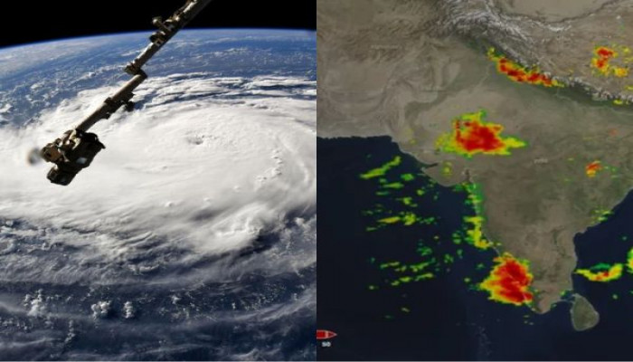
India on Monday introduced an indigenous weather forecasting system with a spatial resolution of six km, the highest in the world.
The system enabled the weather office to issue more localised and accurate forecasts.
The Indian Institute of Tropical Meteorology (IITM) developed the Bharat Forecasting System (BFS).
The BFS became operational from this monsoon season and placed India among the global leaders in weather prediction, Earth Sciences Minister Jitendra Singh said.
The BFS stood as the only global numerical weather prediction system in the world deployed at such a high resolution.
The system marked a major advancement in India’s forecasting capabilities.
The global forecast models used by the European, British, and US weather offices had a resolution ranging from 9 km to 14 km.
M Ravichandran, Secretary at the Ministry of Earth Sciences, said the tropical region is chaotic for weather.
He explained that unpredictable weather changes in this region require high-resolution models to capture spatial variations accurately. He said that earlier, the department issued one forecast for four villages.
The BFS now allowed them to issue individual forecasts for each of the four villages.
Mr Singh said the BFS would enhance monsoon tracking, aviation, cyclone monitoring, disaster management, agriculture, inland waterways, defence, and flood forecasting. He added that it would also support key ministries.
Mr Singh called the system a proud marker of India’s emergence as the world’s fourth-largest economy under Prime Minister Narendra Modi.
He said the unique forecast system would help the economy by reducing potential losses and increasing potential gains.
Researchers, including Parthasarathy Mukhopadhyay, developed the new forecasting model. They accomplished this after installing a new supercomputer named Arka at the IITM campus last year.
Arka had a computing capacity of 11.77 petaflops and a storage capacity of 33 petabytes.
Mukhopadhyay said the previous supercomputer 'Pratyush' took up to 10 hours to run the forecasting model. He said Arka performed the same task in just four hours.
Ravichandran said the BFS provided insights into weather events in grids of 6 km by 6 km. He noted that earlier models provided forecasts for 12 km grids.
He said the BFS used data from a network of 40 Doppler Weather Radars across the country.
This data enabled the weather office to issue more localized forecasts and nowcasts.
He said the number of Doppler radars would gradually increase to 100.
This would allow the weather office to issue nowcasts, weather forecasts for the next two hours across the country.
The BFS could provide 6 km resolution forecasts for the tropical region.
This tropical zone extended between 30 degrees South and 30 degrees North latitudes.
The Indian mainland lay between 8.4 degrees North and 37.6 degrees North latitudes.


Comments