




Central government formally marks 28 strategic sites on Ladakh official map
- In Reports
- 09:04 PM, Oct 02, 2026
- Myind Staff
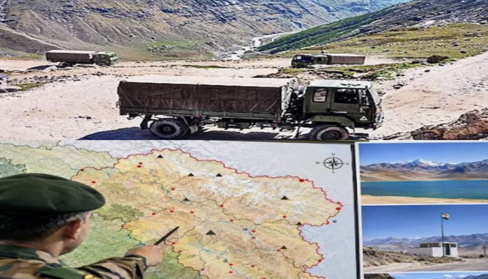
The Centre has formally identified 28 strategic locations and geographical features in Ladakh on the official Indian map, including key border friction points Gogra and Hot Spring along the Line of Actual Control (LAC). The move aims to improve the accuracy of official maps and increase public awareness of the sensitive border region.
The Government of India took the step in consultation with the Ladakh Union Territory administration. The Survey of India (SoI), the country's official mapping agency, has incorporated the standard names of these locations and geographical features into its official map of Ladakh.
"Government of India, in consultation with the Union Territory of Ladakh, has identified a total of twenty-eight (28) places/features, located in the UT of Ladakh, by standard place and feature names on the official map of Survey of India (SoI)," a government statement said.
The government said the formal identification of these places on the Survey of India map aims to ensure their accurate recognition and promote greater public awareness.
Gogra and Hot Spring are among the strategically significant locations included in the list. Both areas emerged as friction points during the 2020 military standoff between India and China in eastern Ladakh. These locations are also important for Indian Army patrolling activities along the disputed border.
The standoff between Indian and Chinese troops began on May 5, 2020, following a violent clash in the Pangong Lake area. Tensions subsequently escalated across several locations in eastern Ladakh. Both countries began the disengagement process in 2022 as part of efforts to address the military confrontation along the LAC.
The list of 28 identified places also includes several high-altitude peaks, mountain ranges, glaciers, passes, valleys and other geographical features across the Union Territory.
Among the locations are Alisha Giri, a high-altitude peak; Brangsa; Chapchingal Pass; Kanishka Peak; Karun Pir Mountain; Kuksel; Martand Giri; Parpik Glacier; Skamri Glacier; Shachmirik Pass; Shkorga Valley; Zorawar Peak; Dehra Compass; and Drak Karpo.
The government has also identified Jolmori, Kumarayana Point, Panglung, Rinchen Zangpo, Sakyasri Giri, Guru Rinpoche, Shamal Lungpa, Yangpa River, Marpa Lotsava Ri, Milarepa Kangri, Shiva Ri and Maheshwara Ri on the official map.
Shamal Lungpa holds historical significance as a patrol and staging route used during the 1950s. Its inclusion, along with the other geographical features, adds to the list of formally recognised places in Ladakh.
The standardisation of these names on the Survey of India map provides an official reference for identifying the locations and features across the strategically sensitive Union Territory.



 Loading...please wait
Comments